Planning a trip to Petrified Forest National Park becomes much easier when you understand the park map. This unique national park in northeastern Arizona is famous for its colorful petrified wood, painted desert views, and ancient fossils. Unlike many other parks, it is long and narrow, with a main road connecting most attractions from north to south.
In this guide, you will learn how to read the park map, explore major trails, and plan your routes in a simple and practical way. Whether you are visiting for a few hours or a full day, this article will help you make the most of your trip.
Overview of the Park Map
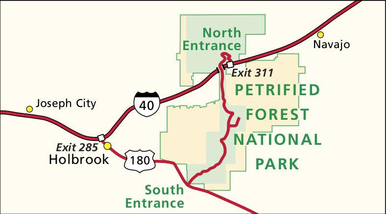
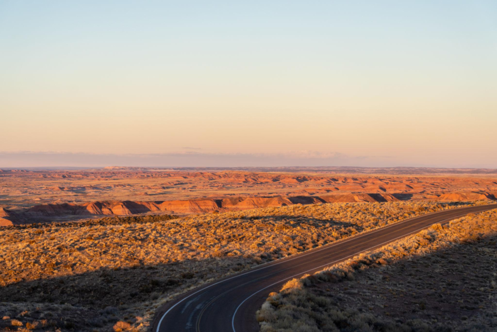
The map of Petrified Forest National Park is simple compared to other national parks. The park has one main road called Park Road, which runs about 28 miles from the north entrance near the Painted Desert to the south entrance near the Rainbow Forest.
Along this road, you will find:
- Scenic viewpoints
- Short walking trails
- Picnic areas
- Visitor centers
There are no complicated road networks, so navigation is easy even for first-time visitors.
Key Map Sections
The park is divided into two main areas:
1. Painted Desert (North Section)
- Colorful hills and wide landscapes
- Great viewpoints for sunrise and sunset
2. Rainbow Forest (South Section)
- Most petrified wood deposits
- Popular hiking trails
Main Route Through the Park
The main route through the park is a scenic drive that connects all major stops. You can enter from either side, but many visitors prefer starting from the north entrance.
North to South Route Highlights
- Painted Desert Visitor Center
Start your journey here. You can get maps, information, and restrooms. - Tiponi Point & Tawa Point
These viewpoints offer wide views of the Painted Desert. - Pintado Point
A great place for photography with layered desert colors. - Blue Mesa Area
One of the most popular stops with a scenic road and hiking trail. - Agate Bridge
A natural bridge made of petrified wood. - Crystal Forest
A must-see area filled with colorful petrified logs. - Rainbow Forest Museum
End your trip here and learn about fossils and ancient history.
Best Trails in Petrified Forest National Park
The park map includes several short and easy trails. Most trails are less than 2 miles, making them perfect for all visitors.
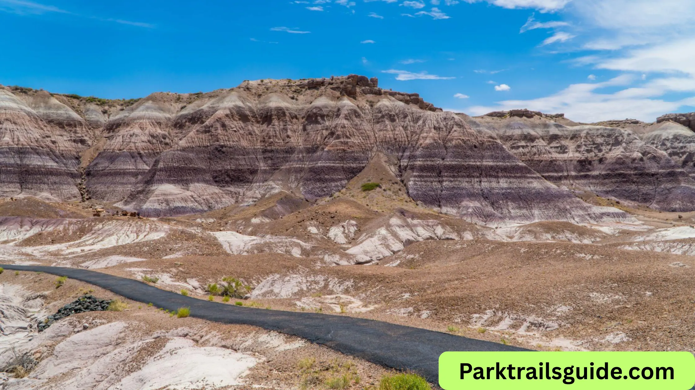
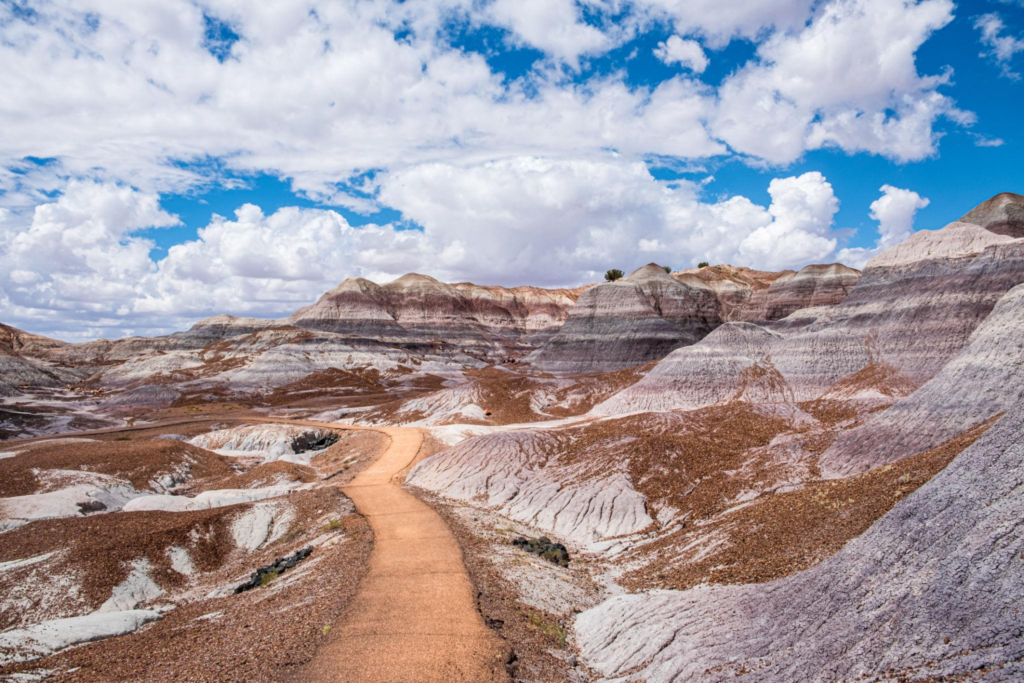
Blue Mesa Trail
- Distance: 1 mile loop
- Difficulty: Moderate
- Location: Central park
This is one of the best trails in the park. It takes you through blue and purple badlands, offering unique landscapes that look almost like another planet.
Crystal Forest Trail
- Distance: 0.75 miles
- Difficulty: Easy
- Location: South section
This trail is famous for its large concentration of petrified wood. You will see colorful logs scattered across the desert floor.
Giant Logs Trail
- Distance: 0.4 miles
- Difficulty: Easy
- Location: Near Rainbow Forest Museum
This short trail features one of the largest petrified logs in the park, called “Old Faithful.”
Painted Desert Rim Trail
- Distance: Up to 1 mile
- Difficulty: Easy
- Location: North section
This trail follows the edge of the Painted Desert and offers beautiful panoramic views.
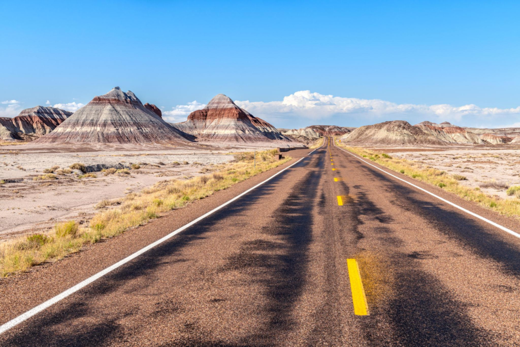
Scenic Drives and Stops
Driving is the main way to explore the park. The scenic road connects all major attractions.
Must-Stop Viewpoints
- Kachina Point – Near Painted Desert Inn
- Chinde Point – Quiet and less crowded
- Nizhoni Point – Great for sunrise
- Lacey Point – Offers wide desert views
Each viewpoint is clearly marked on the park map, so you won’t miss them.
How to Use the Park Map Effectively
A map is more than just directions—it helps you plan your entire visit.
Tips for Using the Map
- Pick your entry point: North for Painted Desert views, south for petrified wood
- Mark key stops: Choose 4–6 stops if you have limited time
- Check distances: Stops are spread out, so plan your driving time
- Combine trails: Many trails are near each other
Most visitors spend 4–6 hours exploring the park.
Suggested Itineraries Based on Map
Half-Day Itinerary
- Enter from north
- Visit Painted Desert viewpoints
- Stop at Blue Mesa
- End at Crystal Forest
Full-Day Itinerary
- Explore all viewpoints
- Walk 2–3 trails
- Visit both visitor centers
- Take your time for photos
Important Map Features to Know
Entrances
- North Entrance (near Interstate 40)
- South Entrance (near Highway 180)
Visitor Centers
- Painted Desert Visitor Center
- Rainbow Forest Museum
Facilities
- Restrooms available at major stops
- Limited food options
- Fuel not available inside the park
Travel Tips for First-Time Visitors
- Start early to avoid crowds and heat
- Carry water, especially in summer
- Wear comfortable walking shoes
- Stay on marked trails
- Do not remove petrified wood (it is illegal)
Best Time to Visit
The park map remains the same year-round, but your experience changes with the season.
- Spring & Fall: Best weather
- Summer: Hot but less crowded early morning
- Winter: Cool with fewer visitors
Sunrise and sunset are the best times for photography, especially in the Painted Desert.
Why the Park Map is Important
Understanding the map helps you:
- Save time
- Avoid missing key attractions
- Plan efficient routes
- Enjoy a stress-free trip
Since the park is spread out, having a clear plan makes a big difference.
Read More: Saguaro National Park Map 2026: Complete Visitor Guide
Frequently Asked Questions
Is the park easy to navigate?
Yes, the main road connects all major attractions, making navigation simple.
How long does it take to drive through the park?
Without stops, about 45 minutes. With stops, 4–6 hours is ideal.
Are there long hikes?
No, most trails are short and easy.
Can I visit in one day?
Yes, a full day is enough to see all major highlights.
Final Thoughts
The Petrified Forest National Park map is your best tool for exploring this unique desert landscape. With one main road, easy trails, and clearly marked viewpoints, the park is simple to navigate but full of incredible sights.
By planning your routes and understanding the map, you can enjoy colorful badlands, ancient fossils, and scenic viewpoints without feeling rushed. Whether you are a first-time visitor or returning again, this guide will help you experience the park in the best possible way.

Rubie Rose is a travel writer with a focused specialty in USA national parks, hiking trails, and practical outdoor trip planning. She is the founder and lead writer of Park Trails Guide — an independent resource built to help everyday visitors explore America’s parks with real confidence, not just enthusiasm.